UPDATE –FRAZIER PARK, CA—(Tuesday, Nov.17, 2015 a 9 a.m.)—We’ve had our little sampler of below-freezing weather and a dusting of snow, just in case any of us may not have been paying attention to predictions that a serious winter may be on its way. On Thursday, Nov. 19, 6-7:30 p.m. at the Frazier Park Library there will be an “El Niño Preparedness Meeting” presented by Kern County first responders and support agencies. The public is urged to attend. Sunny skies are forecast for the rest of the week.
UPDATE –FRAZIER PARK, CA—(Sunday, Nov.15, 2015 at 3 p.m.)—Skies are still overcast but roads are clear and unimpeded in the Pine Mountain community. Drive slowly and with caution through this evening and tomorrow morning.
UPDATE –FRAZIER PARK, CA—(Sunday, Nov.15, 2015 at 12:40 p.m.)—Snow has fallen in Pine Mountain at 5500 feet and above, but it did not stick to the road. Skies are overcast but there is no snow or rain at the moment.
UPDATE –FRAZIER PARK, CA—(Sunday, Nov.15, 2015 at 10 a.m.)—After stiff gusts of wind earlier this morning, a solid bank of clouds is blowing in from the southwest, perhaps setting the stage for the rain forecast by National Weather Service for later today. Light snow is also predicted for late this evening, after 10 p.m.
Driver are advised to drive slowly and carefully Sunday and Monday. Temperatures will rise on Tuesday.
Frazier Park, Ca—(Friday, Nov.13, 2015 at 9 p.m.)—The National Weather Service predicts rain after 4 p.m. on Sunday, followed by possible light snow late in the evening with less than a 1/2 inch accumulation.
Detailed National Weather Service Forecast
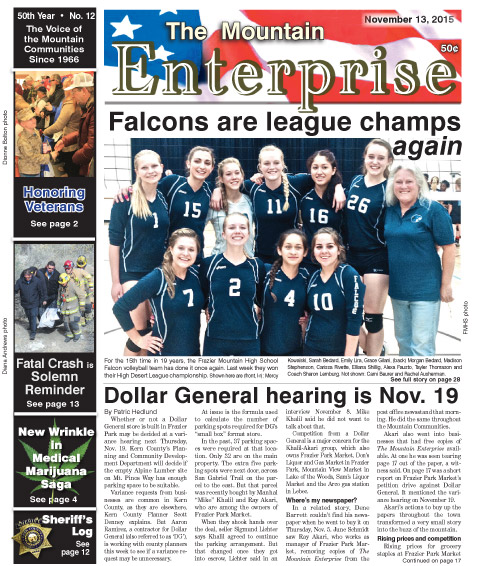
This is part of the November 13, 2015 online edition of The Mountain Enterprise.
Have an opinion on this matter? We'd like to hear from you.