FRAZIER PARK, CA (Thursday, Oct. 15, 2015 at 3:15 p.m.)—The National Weather Service has expanded its Flash Flood Warning to include Frazier Park, Lake of the Woods and Lebec. A major mudslide has been reported on northbound I-5 just north of Fort Tejon.
FRAZIER PARK, CA (Thursday, Oct. 15, 2015 at 1:15 p.m.)—The National Weather Service has issued a flash flood warning for areas including Pine Mountain Club. See the notice below…
FLASH FLOOD WARNING
BULLETIN –
FLASH FLOOD WARNING
NATIONAL WEATHER SERVICE SAN JOAQUIN VALLEY CA
111 PM PDT THU OCT 15 2015
THE NATIONAL WEATHER SERVICE IN HANFORD CA HAS ISSUED A
* FLASH FLOOD WARNING FOR…
SOUTH CENTRAL KERN COUNTY IN CENTRAL CALIFORNIA…
* UNTIL 415 PM PDT
* AT 109 PM PDT…DOPPLER RADAR INDICATED A THUNDERSTORM PRODUCING
HEAVY RAIN ACROSS THE WARNED AREA. FLASH FLOODING IS EXPECTED TO
BEGIN SHORTLY.
* SOME LOCATIONS THAT WILL EXPERIENCE FLOODING INCLUDE…
MARICOPA AND PINE MOUNTAIN CLUB.
PRECAUTIONARY/PREPAREDNESS ACTIONS…
MOVE TO HIGHER GROUND NOW. ACT QUICKLY TO PROTECT YOUR LIFE.
===============================================
FRAZIER PARK, CA (Tuesday, Oct. 13, 2015 at 8:22 a.m.)—The National Weather Service is forecasting rain for Wednesday, Thursday and Friday. The NWS detailed forecast is below:
Detailed Forecast
Tuesday
Mostly sunny, with a high near 81. South southwest wind around 5 mph becoming east in the morning.
Tuesday night
Partly cloudy, with a low around 54. Calm wind becoming southwest around 5 mph after midnight.
Wednesday
A 30 percent chance of showers and thunderstorms after 11am. Partly sunny, with a high near 78. Southwest wind 5 to 10 mph becoming east in the morning.
Wednesday Night
A 50 percent chance of showers and thunderstorms. Mostly cloudy, with a low around 52. East southeast wind around 5 mph becoming calm in the evening. New rainfall amounts between a tenth and quarter of an inch, except higher amounts possible in thunderstorms.
Thursday
A 50 percent chance of showers and thunderstorms. Mostly cloudy, with a high near 73. Calm wind becoming north northeast around 5 mph. New rainfall amounts of less than a tenth of an inch, except higher amounts possible in thunderstorms.
Thursday Night
A 50 percent chance of showers and thunderstorms. Mostly cloudy, with a low around 52. North wind 5 to 10 mph becoming east southeast in the evening. New rainfall amounts of less than a tenth of an inch, except higher amounts possible in thunderstorms.
Friday
A 30 percent chance of showers. Partly sunny, with a high near 73. East northeast wind 5 to 10 mph.
Friday Night
A 20 percent chance of showers before 11pm. Partly cloudy, with a low around 51. Northwest wind around 5 mph.
Saturday
Mostly sunny, with a high near 73. North northwest wind around 5 mph becoming calm.
Saturday Night
A 30 percent chance of showers. Mostly cloudy, with a low around 49. Northwest wind around 5 mph.
Sunday
A 40 percent chance of showers. Partly sunny, with a high near 68. Northwest wind around 10 mph.
Sunday Night
A 20 percent chance of showers. Partly cloudy, with a low around 49. North northwest wind around 10 mph, with gusts as high as 15 mph.
Monday
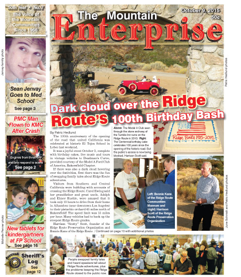
This is part of the October 9, 2015 online edition of The Mountain Enterprise.
Have an opinion on this matter? We'd like to hear from you.