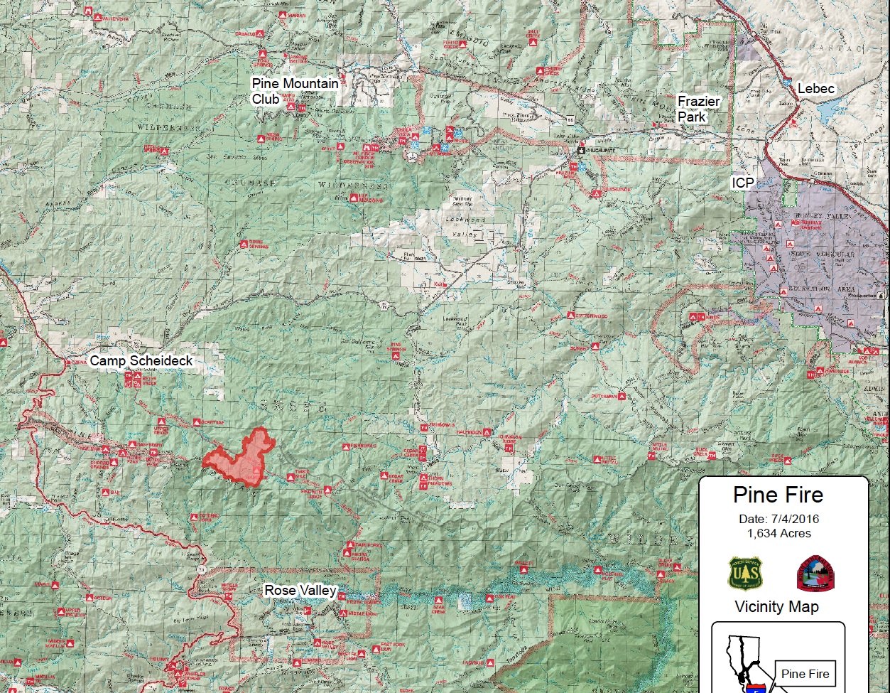
This is is the fire footprint map July 4, 2016 at noon. Each quadrant represents one square mile. The fire is 5 miles south of western Lockwood Valley Road and 13 miles south of Pine Mountain Club. Click on the image to enlarge the size of the map.
This is is the fire footprint map July 4, 2016 at noon. Each quadrant represents one square mile. The fire is 5 miles south of western Lockwood Valley Road and 13 miles south of Pine Mountain Club. Click on the image to enlarge the size of the map.