December 25, 2008 at 8:07 a.m.
Winter Storm Warning
Winter Storm Warning remains in effect until 8 am PST Friday
for the Kern County mountains…
A Winter Storm Warning for heavy snow and strong winds remains in effect until 8 am PST Friday for the Kern County mountains.
A cold low pressure area will move through the region today.
Lowering snow levels and increasing moisture will bring periods
of heavy snow today and tonight. The snow level will be near pass
levels this morning… but lower to near 3000 feet during the
afternoon. Total snowfall of 8 to 12 inches is likely at and above
4000 feet feet this afternoon and evening… with 2 to 5 inches as
low as 3000 feet. Gusty winds over ridges and through wind favored passes and canyons will cause areas of blowing and drifting snow as well.
Snow showers will continue tonight and early Friday
morning… mainly along north facing slopes of the tehachapis.
Places such as Cuddy Valley and Frazier Park could see several
inches of additional snow by daybreak Friday.
A Winter Storm Warning means significant amounts of snow are
expected or occurring. Travel on I-5 over the Grapevine and
Highway 58 through Tehachapi Pass could become hazardous if not impossible during the day today… continuing through Friday
morning..
Stay tuned to NOAA Weather Radio… or your favorite news source… for further information on this winter weather storm.
Real Time Weather Conditions
Local Forecast
Christmas Day: Rain likely. The rain could be heavy at times.
Snow level 4700 feet lowering to 3500 feet. Cloudy, with a high
near 46. Breezy, with a west southwest wind 9 to 12 mph increasing to between 21 and 24 mph. Winds could gust as high as 36 mph. Chance of precipitation is 70%.
Tonight: A chance of snow showers. Mostly cloudy, with a low
around 36. Breezy, with a west southwest wind 19 to 22 mph
decreasing to between 10 and 13 mph. Winds could gust as high
as 30 mph. Chance of precipitation is 40%. New snow accumulation of less than a half inch possible.
Friday: A 20 percent chance of showers. Mostly cloudy, with a
high near 42. West wind between 11 and 16 mph.
Friday Night: Partly cloudy, with a low around 29. Light east
southeast wind.
Saturday: Mostly sunny, with a high near 47. Calm wind
becoming west around 5 mph.
Saturday Night: Partly cloudy, with a low around 33.
Sunday: Mostly sunny, with a high near 56.
Sunday Night: Partly cloudy, with a low around 35.
Monday: Sunny, with a high near 54.
Monday Night: Mostly clear, with a low around 38.
Tuesday: Sunny, with a high near 59.
Tuesday Night: Mostly clear, with a low around 38.
Wednesday: Sunny, with a high near 61.
This report was generated by Rex Emerson of the Lake Isabella area from National Weather Service and NOAA data.
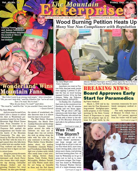
This is part of the December 19, 2008 online edition of The Mountain Enterprise.
Have an opinion on this matter? We'd like to hear from you.