Fire Weather Watch in effect from late Tuesday night through Thursday afternoon for winds… low humidities with poor overnight recoveries and dry fuels for the Tehachapi Mountains west of Interstate 5…
The National Weather Service has issued a Fire Weather Watch for winds… low humidities with poor overnight humidities and dry fuels… which is in effect from late Tuesday night through Thursday afternoon.
* Affected area… fire weather zone 295 Kern County mountains west of Interstate 5… including Frazier Park and Pine Mountain Club.
* Winds… east 10 to 20 mph with gusts up to 35 mph.
* Timing… winds increasing Tuesday and Tuesday night combined with low humidities and dry fuels. Poor overnight humidity recoveries.
* Relative humidity… as low as 6 percent.
* Temperatures… at 5000 feet… in the mid 70s to around 80.
* Lightning… none.
* Impacts… very low humidities combined with critically dry fuels will result in increased fire danger. If fire ignition occurs there could be rapid spread of wildfire that would lead to a threat to life and property.
Precautionary/preparedness actions…
A Fire Weather Watch means that critical fire weather conditions are forecast to occur. Please advise the appropriate fire officials or fire crews in the field of this Fire Weather Watch. Listen for later forecasts and possible red flag warnings.
———-
Tonight Clear, with a low around 60. Northwest wind 10 to 15 mph.
Tuesday Sunny, with a high near 89. Southwest wind 10 to 15 mph becoming northwest in the morning. Winds could gust as high as 20 mph.
Tuesday Night Mostly clear, with a low around 56. Breezy, with a west northwest wind 15 to 20 mph becoming north 5 to 10 mph after midnight.
Wednesday Sunny, with a high near 87. East northeast wind 10 to 15 mph becoming south southeast in the morning.
Wednesday Night Clear, with a low around 55. East northeast wind around 15 mph, with gusts as high as 20 mph.
Thursday Sunny, with a high near 91. East wind around 15 mph.
Thursday Night Clear, with a low around 54. West southwest wind around 5 mph becoming east northeast in the evening.
Friday Sunny, with a high near 89. Northeast wind around 5 mph becoming west southwest in the morning.
Friday Night Mostly clear, with a low around 57. Northwest wind 5 to 15 mph, with gusts as high as 20 mph.
Saturday Sunny, with a high near 86. North wind 5 to 10 mph becoming west southwest in the morning.
Saturday Night Mostly clear, with a low around 56. Northwest wind 5 to 15 mph, with gusts as high as 20 mph.
Sunday Sunny, with a high near 87. East wind 5 to 15 mph.
Sunday Night Mostly clear, with a low around 55. East northeast wind 10 to 15 mph decreasing to 5 to 10 mph in the evening.
Monday Sunny, with a high near 84. Northeast wind around 5 mph becoming south southeast in the morning.
Monday Night Overcast with a chance of rain. Low of 52. Winds less than 5 mph. Chance of rain 70% with rainfall amounts near 0.4 in. possible.
Tuesday Overcast with a chance of rain. High of 81. Winds from the West at 5 to 10 mph. Chance of rain 40%.
Tuesday Night Mostly cloudy with a chance of rain. Low of 52. Winds from the WNW at 5 to 10 mph. Chance of rain 20%.
Wednesday Partly cloudy. High of 79. Winds less than 5 mph.
Wednesday Night Partly cloudy. Low of 50. Winds less than 5 mph.
Thursday Clear. High of 81. Winds less than 5 mph.
Thursday Night Clear. Low of 52. Winds less than 5 mph.
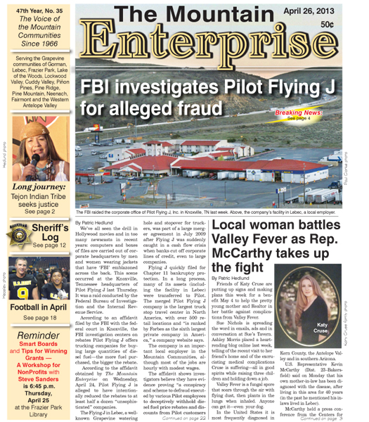
This is part of the April 26, 2013 online edition of The Mountain Enterprise.
Have an opinion on this matter? We'd like to hear from you.